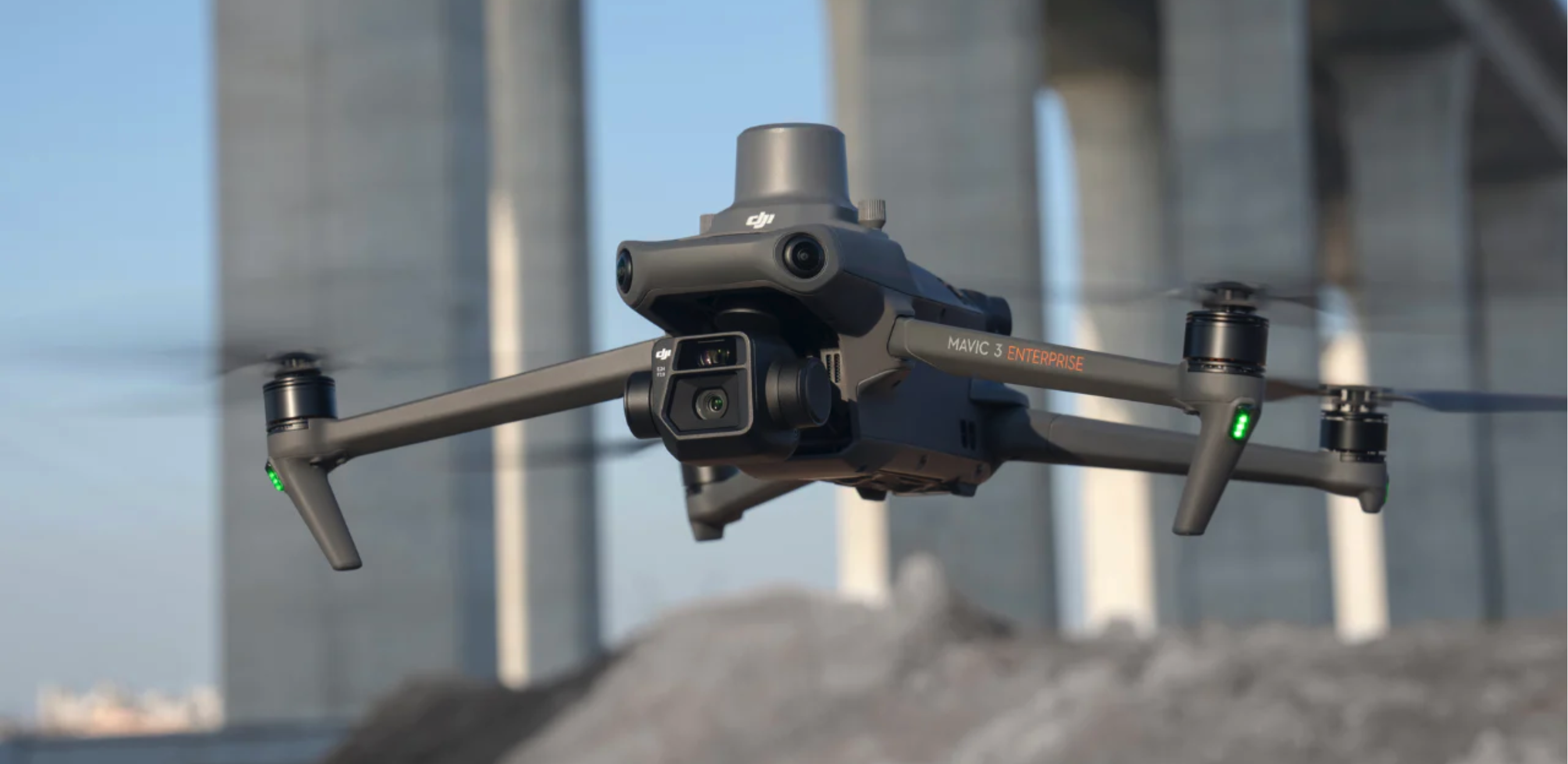
Mavic 3E - Your Eye in the sky.
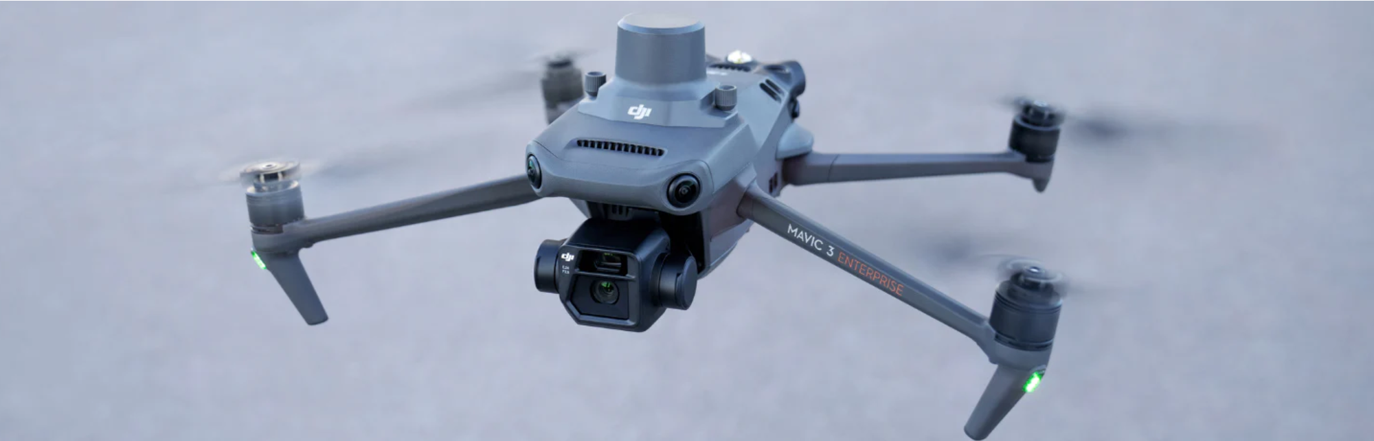
Robust and small, the Mavic 3E is equipped with cameras and mechanical shutter operating at the micro second level for extreme precision. With its RTK module it can operate land survey and mapping of geodesic grade.
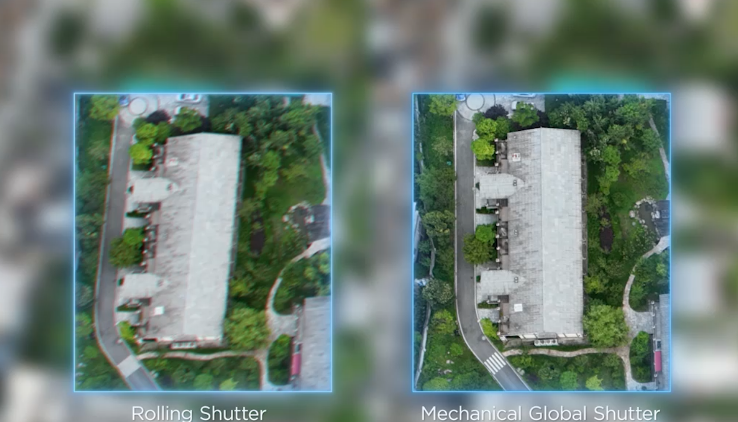
An example of the difference in quality between roll shutters and mechanical shutters and the blurry effect on precision pictures.
The Mavic 3E is designed to gather data with high-precision definition. The range of industrial application is wide as the quality of data set produce if hi-fidelity centimeter level.

It excel in topography and can cover large area in one flight, either automated or manually flown missions are easily set-up. Data set can be post-processed achieving survey grade quality.