Mavic 3M - Crops and Natural resources hide no secrets.
The Future is today. Welcome to agriculture 2.0 - Effective aerial surveying needs to see the invisible. That's why Mavic 3 Multispectral has two forms of sight. It combines an RGB camera with a multispectral camera to scan and analyze crop growth with total clarity. Agricultural production management requires precision and data, and Mavic 3M delivers both.
The Mavic 3M contribution to a greener environment is demonstrated by some of the missions attributed by States and Federals agencies as well as NGO's and Foundations.
Here is a few examples:
Agricultural Data Set Used for Crop Planning
Forest monitoring

Urban green area surveys

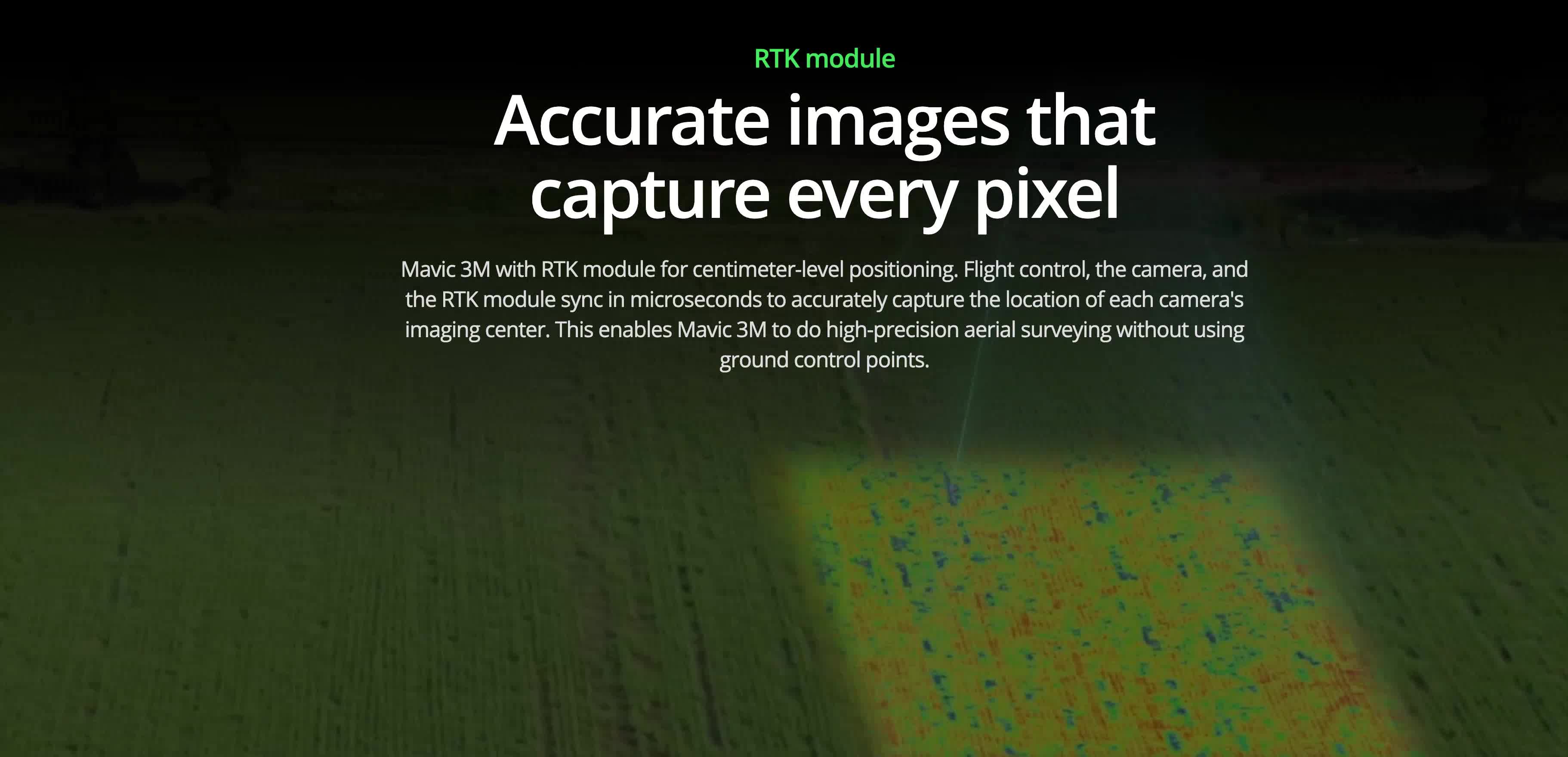
Centimeter-level RTK positioning and Microsecond-level time synchronization, makes the data set produced of a quality only comparable to satellite data but a fraction of the cost
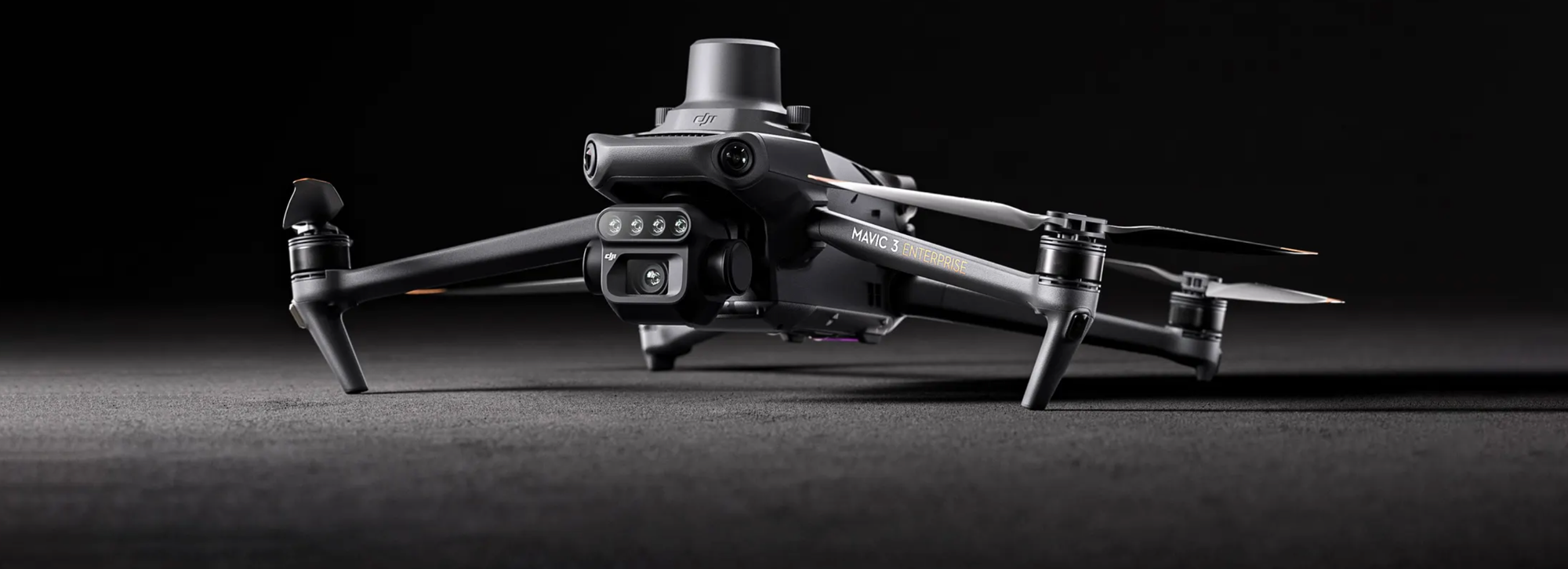
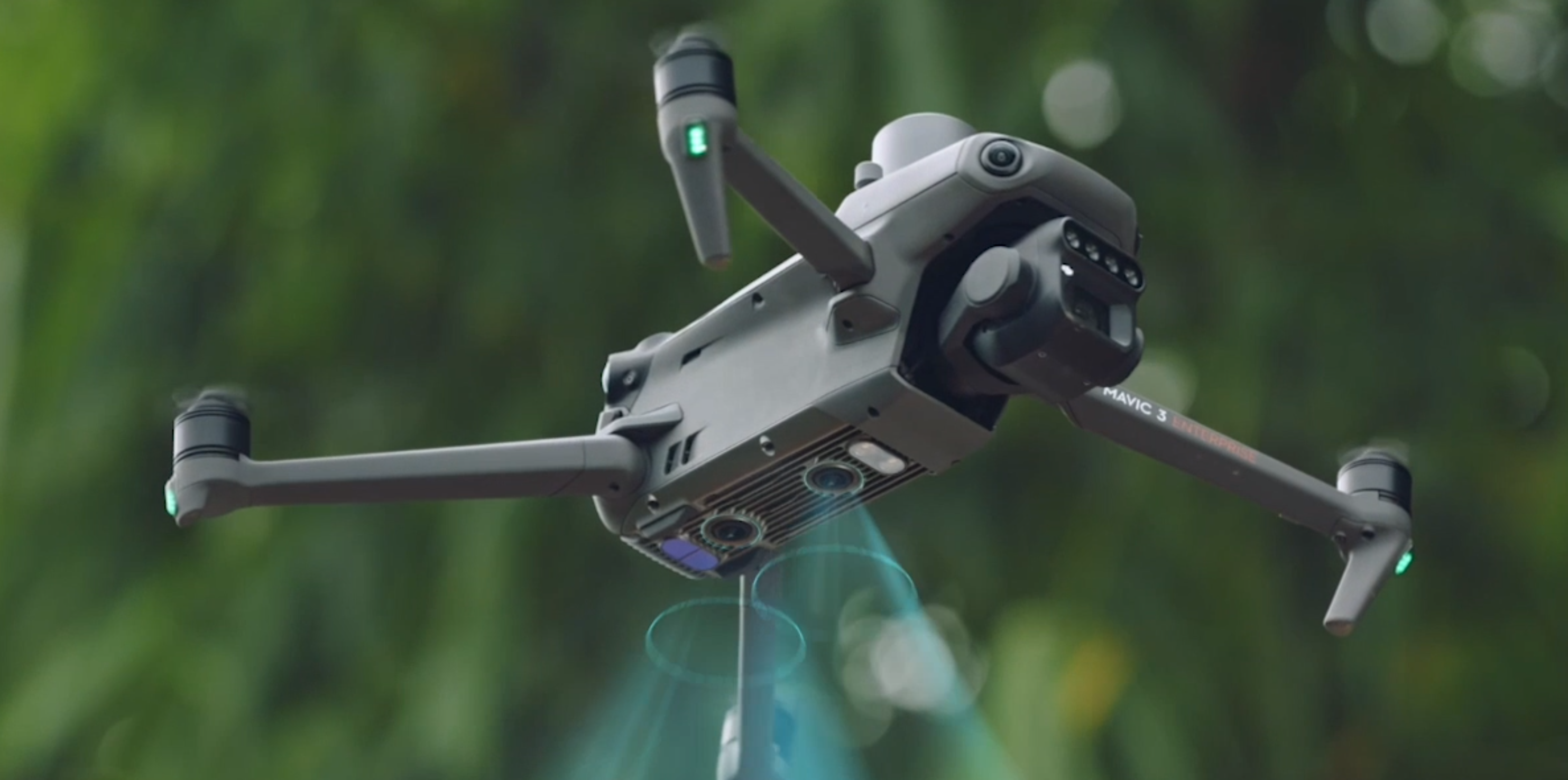
Mavic 3m sensors
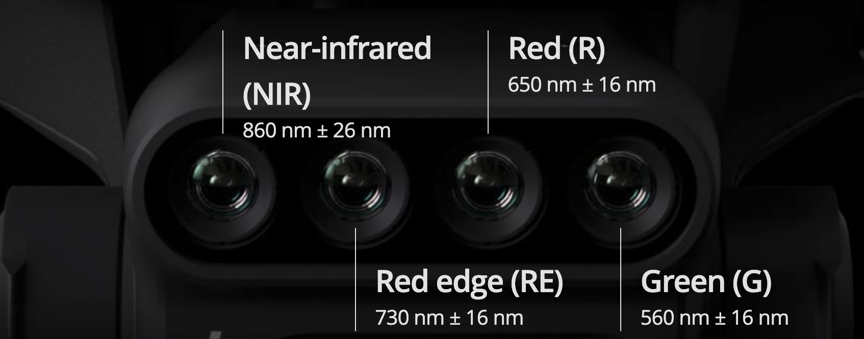
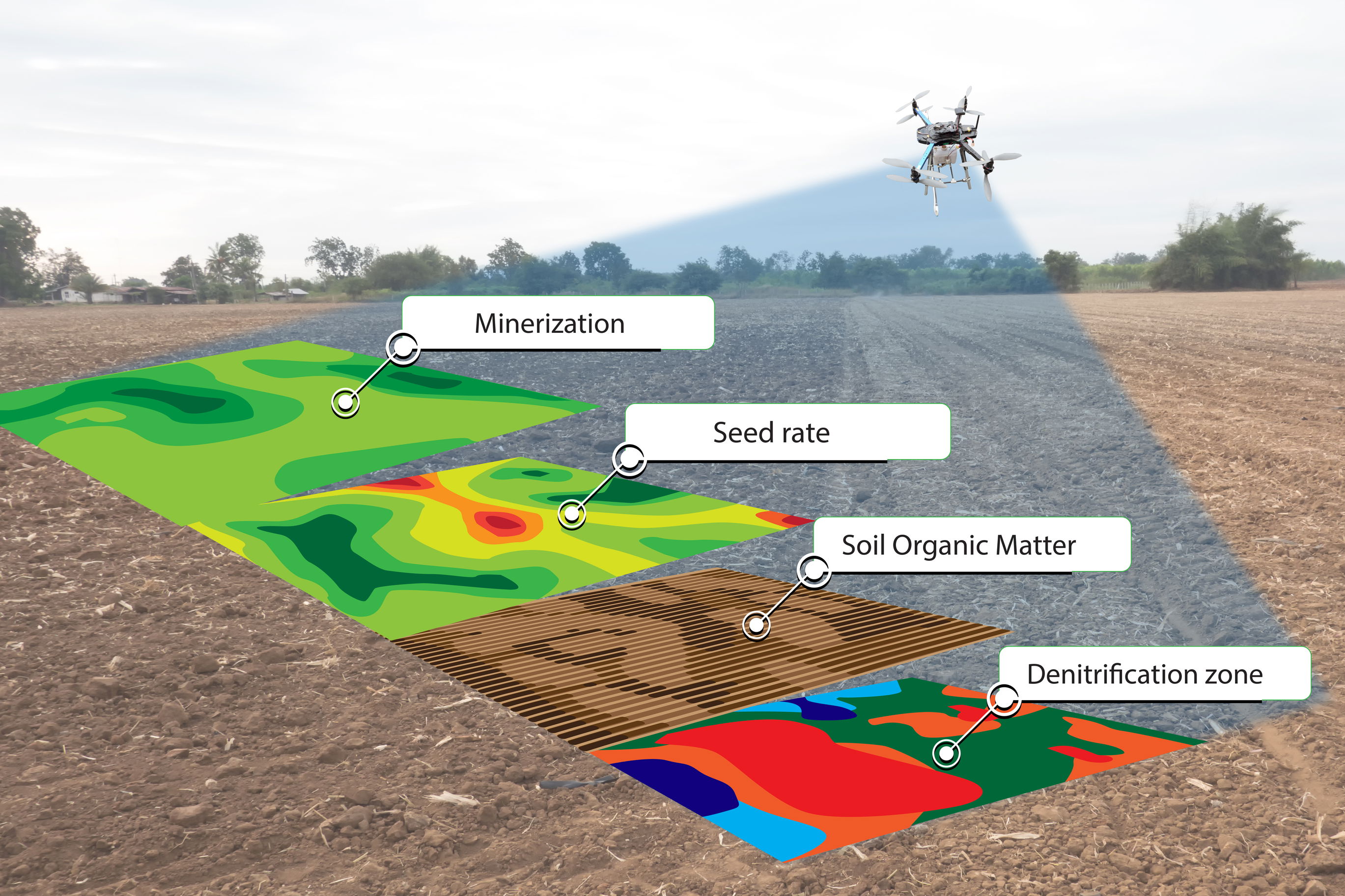
The Multispectral camera is capable to generate NDVI and other vegetation indices maps, capturing differences in crop potential and generating prescription maps that allow agricultural drones to execute variable-rate application. This ultimately allows users to reduce costs, increase yield, and protect the environment.
It can find abnormalities, such as emergence deficiencies, weed pressure, and crop lodging in a timely manner. It can also conduct intelligent analyses, such as cotton seedling identification and rice production testing, using AI identification for real-time sharing of crop growth information.