SOON TO JOIN OUR FLEET

THE M350 RTK
Its adaptable payload makes it the perfect tool to tackle LiDAR missions on morning, Survey grade Photogrammetry asset mapping, and move on to Methane gas detection by the end of the same day's missions. Versatile and adaptable.
The DJI and 3rd parties payload developed for the M350 RTK are making this drone an "Can-do-it-all" airframe.
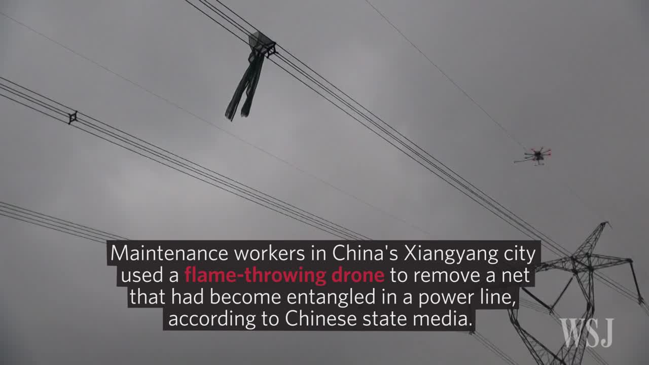
From cinema camera to Night vision /infra-red sensors, speakers or high power lights and even special tool (flamethrower or Nitrogen-thrower are available) The M350 can take on any missions, including complicated or special missions.
Considered as the "Swiss army knife" in the commercial drone fleet it is the workhorse of the professional drone service provider industry.
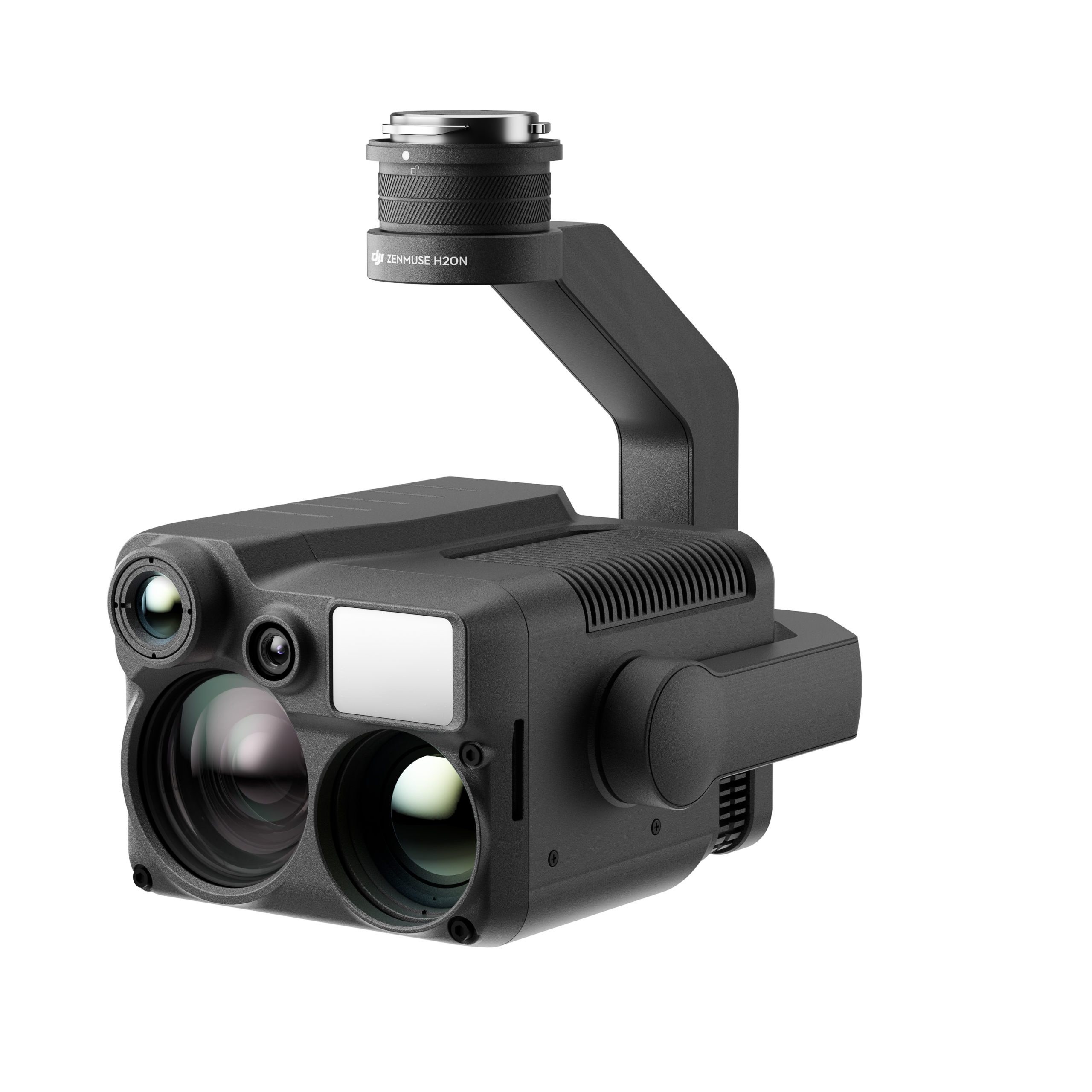
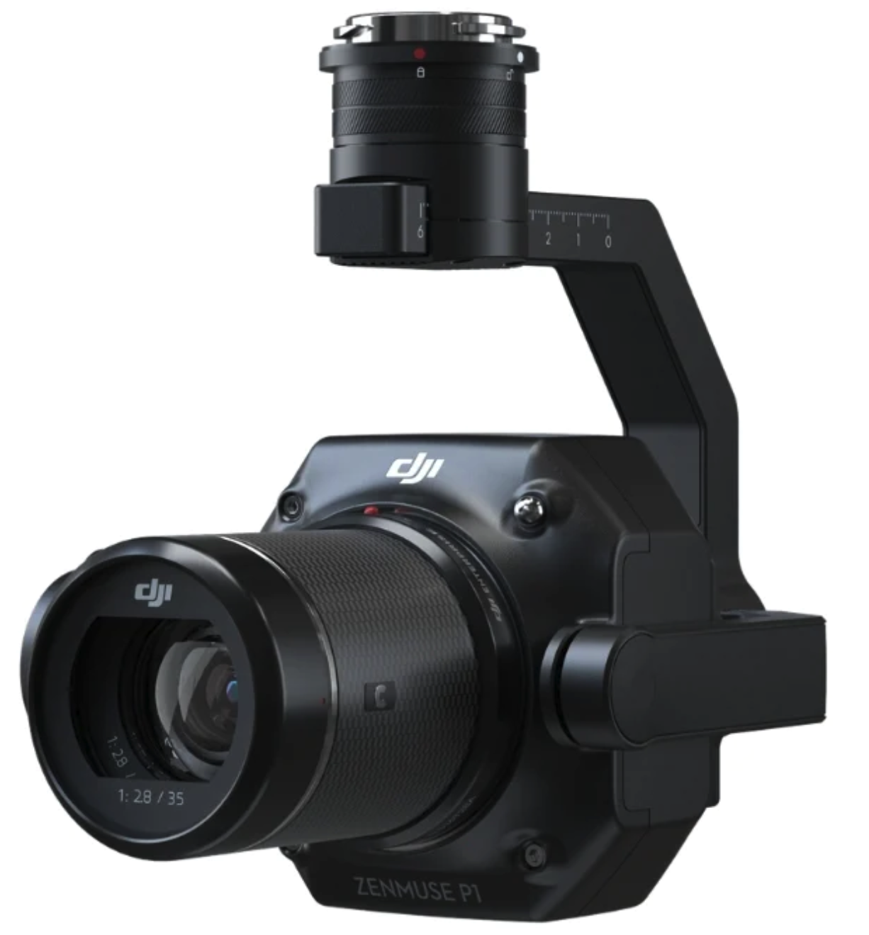
Zenmuse H20N - DJI Payload for the M300 RTK
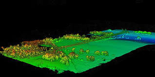
LiDAR Mapping for Real-Estate development project
LiDAR Asset mapping for maintenance & Conservation

LiDAR Building mapping for urban management
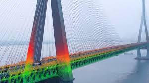
LiDAR Mapping for Maintenance purposes in civil engineering application
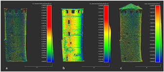
Applications in Photogrammetry & Orthophoto are done with the Zenmuse P1 payload shown below.
It does give exceptional results only achieved through satellite a decade ago and it does that at the fraction of the cost.
Below is a mapping with survey grade results made with M300RTK and the Zenmuse P1 payload. 3D modelling is an important asset for drone surveying. These digitalised versions of the real world can be quickly shared with teams to monitor site progress, spot mistakes, and conduct calculations and measurements.
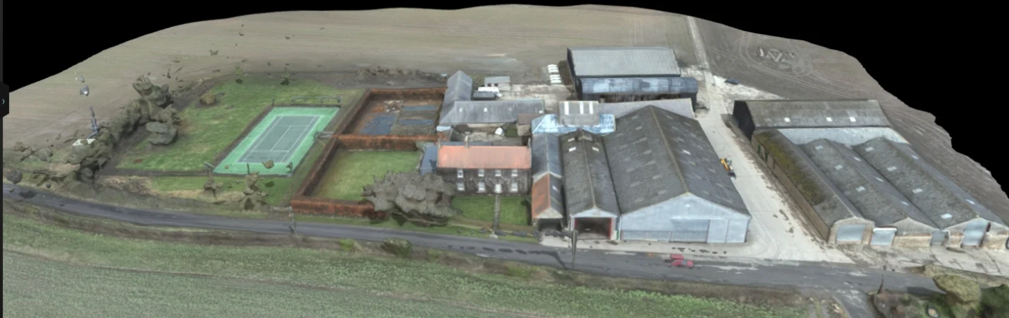
- Credit to HELIGUY uk -
Full study case link below:
https://www.heliguy.com/blogs/posts/mapping-with-the-m300-rtk-and-p1